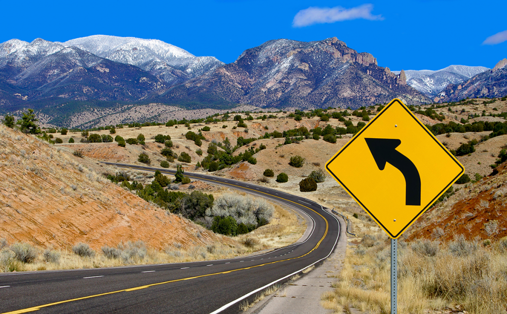
Nicknamed the Land of Enchantment, New Mexico has a rich history and culture and fascinating geography. It’s the home of the highest state capital in the country — Santa Fe at 7,199 feet above sea level. Located in the southwestern region of the United States, New Mexico shares borders with Arizona, Colorado, Oklahoma, Texas, and Utah as well as an international border with the country of Mexico.
The state also has a variety of scenic drives along with RV campgrounds where you can stay and enjoy the atmosphere. Just keep in mind that about three-quarters of the roads are not paved, since, with an average annual precipitation of 13.85 inches, there isn’t enough moisture to make them wash away!
The following are just four of the state’s scenic byways and roadways to explore. For more ideas of what to see and do while you’re there, visit the New Mexico Tourism Department website.
Turquoise Trail
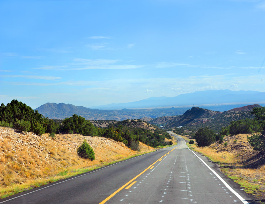
A National Scenic Byway, the Turquoise Trail is approximately 50 miles along Highway 14 and links Santa Fe to Albuquerque. Start at Tijeras, the gateway to the Trail, where you can visit the Tijeras Pueblo Archaeological Site. From there, travel to Cedar Crest, then north to the Sandia Mountains and Cibola National Forest, stopping in Sandia Park where you’ll find Tinkertown Museum housing miniature wood-carved figures and memorabilia of all kinds, thanks to the efforts of the late Ross Ward.
Next up is Golden, the site of the first gold rush west of the Mississippi (even before the California and Colorado gold rushes), Madrid, transformed from a mining town to a distinctive arts community, and Cerrillos that serves as a picturesque reminder of its Old West past. Finally, you’ll pass through San Marcos/Lone Butte on your way to Top of the Trail, a one-stop resource for information about outdoor recreation on State and Federal lands.
Looking for a campground? The Santa Fe Skies RV Park just north of Cerrillos/Lone Butte has 98 sites—all with 20/30/50-amp service and water, along with free WiFi, laundry, restrooms and showers, and a dump station.
Route 66
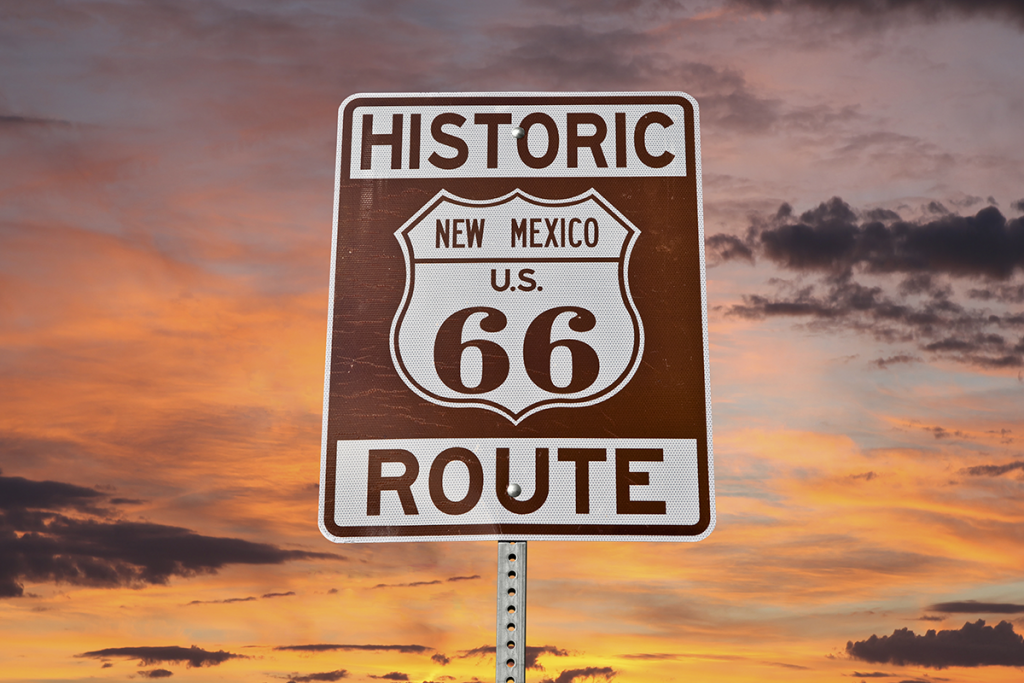
Most everybody has heard of Route 66, and while it no longer officially exists, you can still follow it as it travels through eight states including New Mexico. According to the Historic 66 website, even the famed highway’s endpoints shifted over the years, but don’t let that stop you from getting your kicks on Route 66, as the song goes. (This page gives some useful pointers for exploring Route 66 in an RV.)
The New Mexico eastbound segment begins on SR118 at the Arizona frontage road and continues on until you pick up I-40 to head east into Texas. Along the way, visit Red Rock State Park, Albuquerque Museum of Art and History, and the Silver Moon Café, a legend among Route 66 landmark eateries. If you’re exploring Route 66 from the west, you’ll take Glenrio to Santa Rosa, continue on to Tijeras, and then to Grants before ending this stretch at Manuelito.
Looking for some campgrounds where you can stay for a night or longer? Both Route 66 News and TheRoute-66.com have a list of places along the entire route, while RV Life Pro website has “Route 66 RV Parks That You Won’t Want To Miss.”
Abo Pass Trail
It may only encompass 31 miles, but the Abo Pass Trail packs a lot in that short distance. Connecting the Salt Missions Trail and El Camino Real Scenic Byways, the route achieved its importance as a Native American trade route first established in 1450 A.D., ultimately becoming part of a trade corridor. Travel the byway and you’ll be treated to incredible views of the Manzano Mountains. You can also explore Manzano Mountains State Park where you can go boating and fishing, hike the trails, engage in wildlife viewing, and camp.
The Sevilleta National Wildlife Refuge is one of the largest refuges in the National Wildlife Refuge System in the lower 48 states It consists of 230,000 acres with four different biomes that intersect and support a wide array of biological diversity—perfect for wildlife watching, hiking, and photography. Hunting is allowed seasonally in designated areas within the Refuge’s boundaries.
Trail of the Mountain Spirits Scenic Byway
Looking for a longer journey? Try the Trail of the Mountain Spirits Scenic Byway that winds around New Mexico’s southwest corner and travels through the Continental Divide and Gila National Forest (the first officially designated wilderness area). The byway crosses six climatic zones, beginning in Silver City, then takes you north on NM-90 to Highway 180 until the junction with NM-15, where it splits into the North Section and the East Section. The Inner Loop is also the route for the annual Tour of the Gila race.
Be sure to leave time to explore Mimbres Valley and the Gila Cliff Dwellings National Monument, home to the people of the Mogollon Culture for two decades in the late 1200s before the nomadic group moved on, leaving behind cliff dwellings to explore. Looking for a campground? The Gila National Forest has camping areas ranging from primitive to developed, with electrical hookups available at some locations.
Recent Articles
